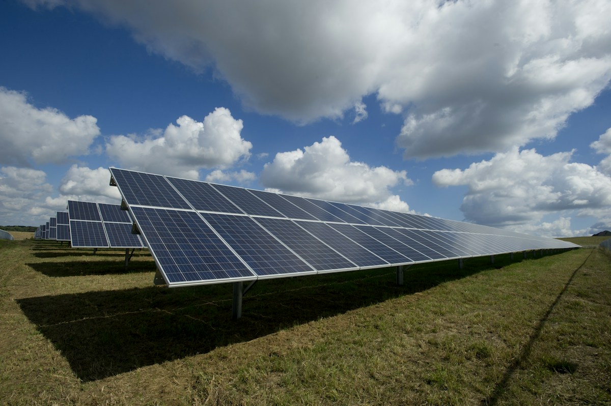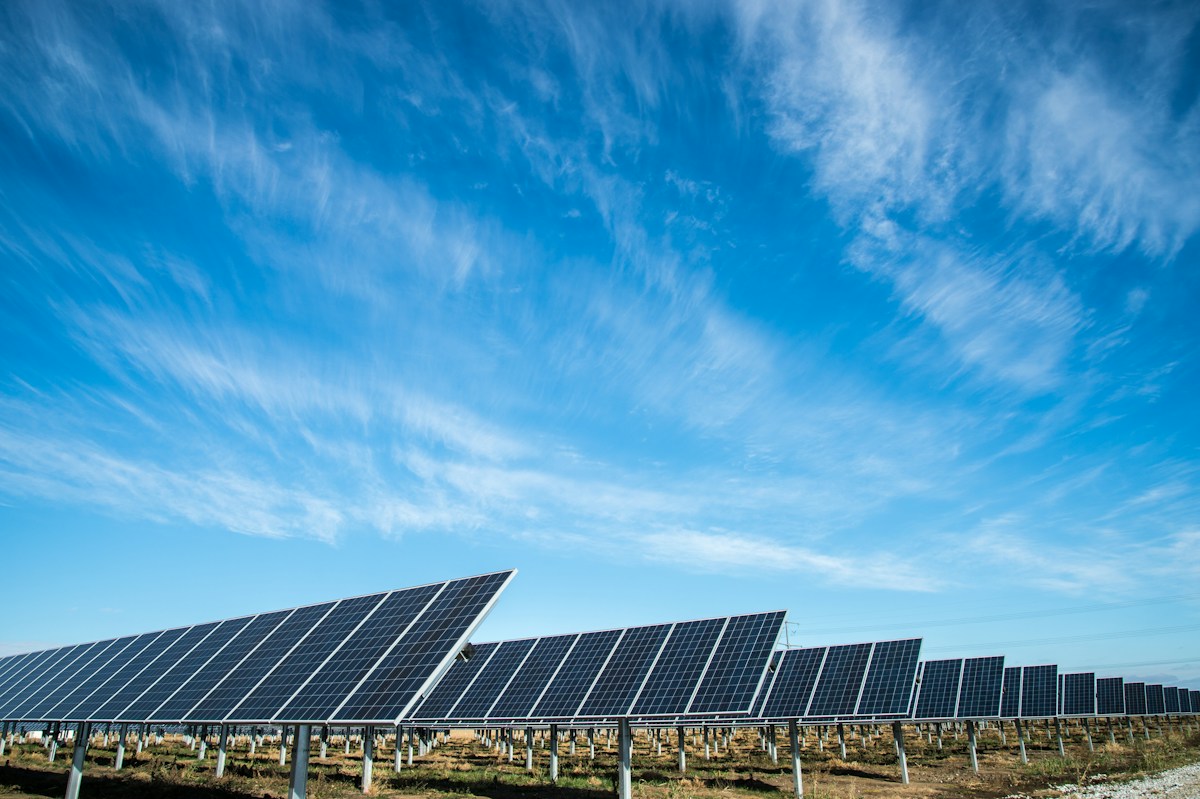
A drone solar inspection sounds simple — fly a drone over the panels and take pictures. But the reality is a carefully orchestrated process involving pre-flight planning, environmental monitoring, systematic data capture, AI-assisted analysis, and professional reporting. Here is the complete step-by-step process Varuna Aerotech follows on every inspection.
Step 1: Pre-Inspection Planning (1–2 Days Before)
- Collect plant layout, string map, and single-line diagram from client
- Plan systematic flight paths covering 100% of module area
- Check weather forecast — irradiance forecast above 600 W/m², wind below 4 m/s
- File DGCA NPNT (No Permission No Takeoff) flight permission if required
- Brief ground team on safety protocols and emergency procedures
- Calibrate thermal camera and verify radiometric settings
Step 2: Site Arrival and Environmental Verification
On inspection day, our team arrives 1–2 hours before planned flight to set up equipment and verify environmental conditions. IEC 62446-3:2022 requires a minimum of 600 W/m² solar irradiance at the time of inspection — we measure this with a calibrated pyranometer. Wind speed must be below 4 m/s to prevent cooling effects that mask thermal anomalies.
Step 3: Drone Thermal Data Capture
Our DGCA-certified pilot launches the thermal drone from a safe takeoff point and begins the systematic pre-planned flight. The drone flies at 30–50 metres altitude at a consistent speed, capturing geo-tagged thermal (IR) and RGB images simultaneously. Every module in the plant is photographed at least once. For a 10 MW plant, data capture typically takes 4–6 hours of flight time.
- Altitude: 30–50 m (optimised for resolution and coverage)
- Speed: 3–7 m/s (balances image quality with coverage rate)
- Overlap: Minimum 80% sidelap, 70% frontlap
- Camera: Radiometric thermal + 4K RGB simultaneous capture
- GPS: RTK-accurate geotagging of every image
Step 4: Data Processing and Fault Detection
Raw thermal images are processed using photogrammetry software to create an orthorectified thermal mosaic of the entire plant. Our engineering team then analyses the mosaic using AI-assisted fault detection tools to identify temperature anomalies. Each anomaly is validated manually by a PV engineer, classified by severity, and tagged with GPS coordinates and temperature delta (ΔT).
Step 5: IEC 62446-3 Compliant Report Generation
The final report follows the exact structure required by IEC 62446-3:2022. It includes an executive summary, methodology section, full fault catalogue with thermal images, severity classification, GPS fault map, performance impact estimate, and prioritised corrective action plan. Reports are delivered as a PDF within 48 hours of survey completion.
What Faults Can Be Detected?
- Hotspots — overheating cells due to shading, soiling, or defects
- Bypass diode failures — entire cell strings generating heat
- String disconnections — dead strings showing cold uniform temperature
- Soiling patterns — dust, bird droppings, leaf shadows
- PID (Potential Induced Degradation) — systematic cell degradation
- Junction box failures — hot junction boxes indicating wiring faults
- Module mismatch — performance differences between modules
Frequently Asked Questions
How long does it take to inspect a 10 MW solar plant?
A 10 MW solar plant takes approximately 1 full day for data capture (4–6 hours of flight) plus 24–48 hours for data processing and report generation.
Do I need to shut down the plant during inspection?
No. Thermal drone inspection is non-invasive and can be performed with the plant fully operational under normal generation conditions. IV curve testing requires individual string disconnections but can be coordinated to minimise production impact.
What weather conditions prevent inspection?
Inspection cannot be done during rain, heavy cloud cover (irradiance below 600 W/m²), high wind (above 4 m/s), fog, or dust storms. We monitor forecasts carefully and reschedule if conditions are unsuitable.