Aerial Data Acquisition
High-resolution aerial imagery and data capture for comprehensive site analysis.
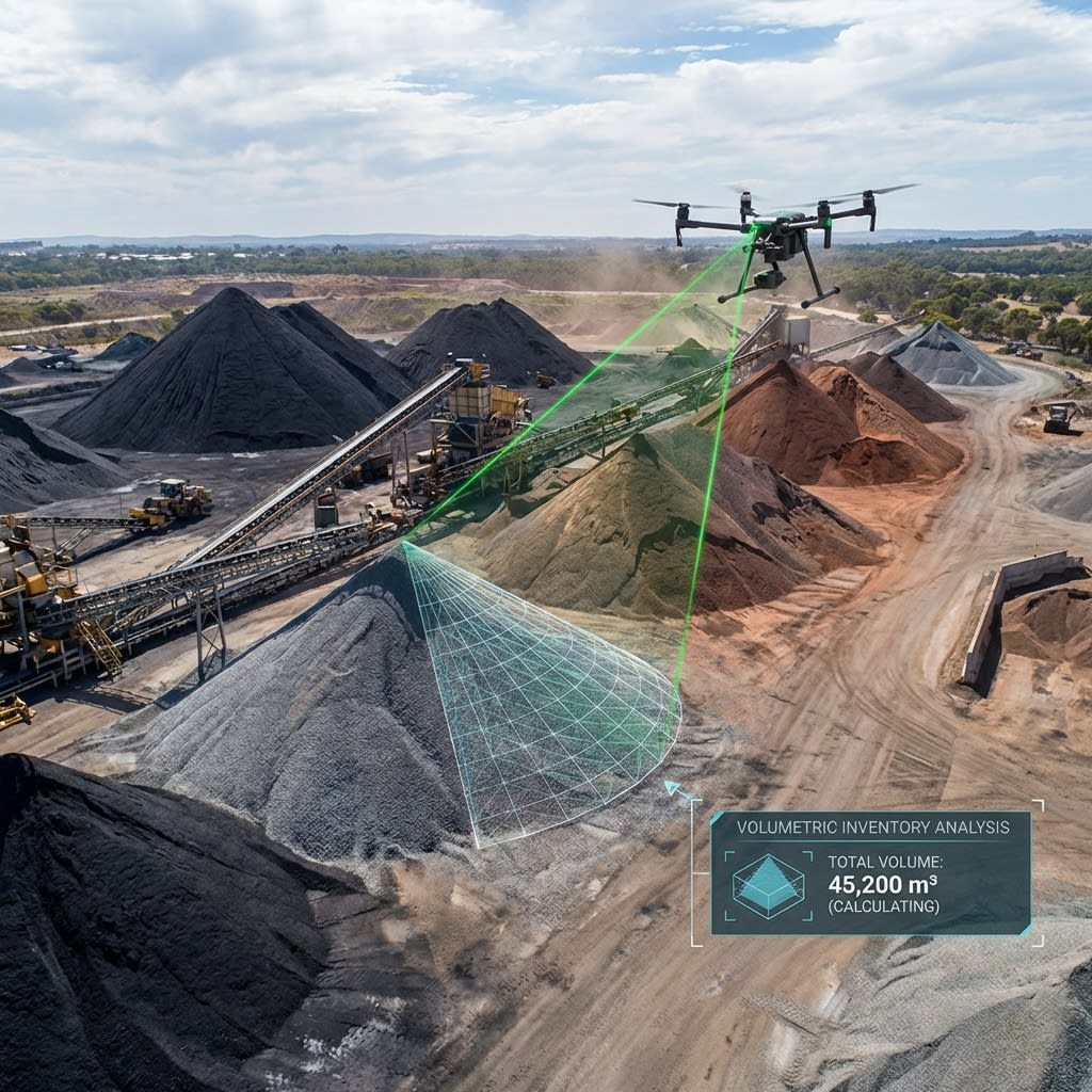
Aerial Data Acquisition Overview
We provide on-demand aerial data acquisition services using state-of-the-art drones equipped with high-resolution RGB, thermal, and multispectral sensors. Whether for mapping, modeling, or inspection, our data provides the foundation for informed decision-making.
Key Benefits
High Resolution
Capture details invisible to the naked eye.
Rapid Deployment
Survey large areas in a fraction of the time.
Multi-Sensor
RGB, Thermal, and LiDAR capabilities.
Actionable Data
Process-ready data for engineering and analysis.
Cost Effective
Significantly cheaper than manned aircraft survey.
Safety
Remote operation keeps personnel out of harm's way.
Our Process
A systematic approach ensuring safety, accuracy, and actionable results.
Flight Planning
Define area of interest and required resolution.
Data Capture
Systematic automated flight execution.
Processing
image stitching and data calibration.
Delivery
Cloud-based delivery of raw and processed assets.
"Precision in every flight, accuracy in every report."
Deliverables
Actionable data formats ready for your engineering teams.
Orthomosaics
High-res stitched maps.
Raw Imagery
Original uncompressed sensor data.
3D Models
Photogrammetric reconstructions.
Point Clouds
Dense 3D data points.