Topographic Survey
High-precision mapping for land development and engineering.
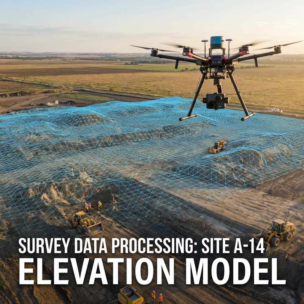
Topographic Mapping Overview
We deliver CAD-ready topographic maps and Digital Terrain Models (DTM) for construction, mining, and urban planning. Our aerial surveys cover huge areas rapidly, capturing every terrain feature with high geometric fidelity.
Key Benefits
Survey Grade
Accuracy down to 1-3 cm with RTK/PPK.
Dense Data
Millions of points versus hundreds with total station.
Project Speed
Weeks of surveying done in a single day.
Terrain Filtering
Digital removal of vegetation to see ground.
Visual Context
High-res orthophomap underlays the topo data.
Cost Efficiency
Significant savings on large land tracts.
Our Process
A systematic approach ensuring safety, accuracy, and actionable results.
Reference Setup
Establish geodetic control network.
Data Capture
Systematic aerial mapping flight.
Photogrammetry
Generate point clouds and ortho-mosaics.
Feature Extraction
Digitize kerbs, buildings, and contours.
"Precision in every flight, accuracy in every report."
Deliverables
Actionable data formats ready for your engineering teams.
Topographic Map
CAD (DWG/DXF) file with contours and features.
Orthomosaic
High-resolution geo-referenced map image.
DEM/DTM
Digital Elevation Models for flooding analysis.
Survey Report
Quality checking and methodology report.